
Supplier documents in history and point locations for EUDR
1779889621171
Released: 27 May 2026
A few small but great improvements to Qarma.
Supplier documents in history
When a document is uploaded to a supplier or production unit, you can now see history entries explaining who did it and when. This means you have full visibility into what happened:
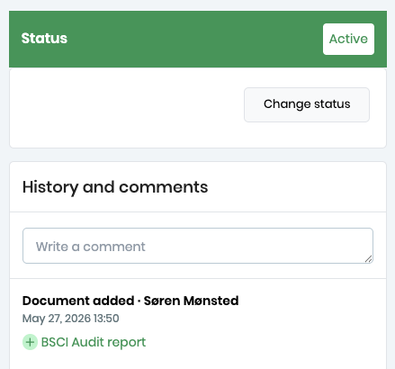
Clicking the green text will take you to the document.
Support for point location geojson files for EUDR
One blocker for smooth EUDR workflows removed!
When providing geolocation data for EUDR, it is now possible to use point geojson files. This is allowed for small plots, and we now support it in Qarma. Since you often do not have control of the upstream suppliers creating the geojson files, we want to make sure it is not a blocker in the process.
The point geojson files are supported both for risk prediction in Satelligence (it will automatically check the vicinity of the point) and for submission of Due Diligence Statements to the EUDR Information System (TRACES).
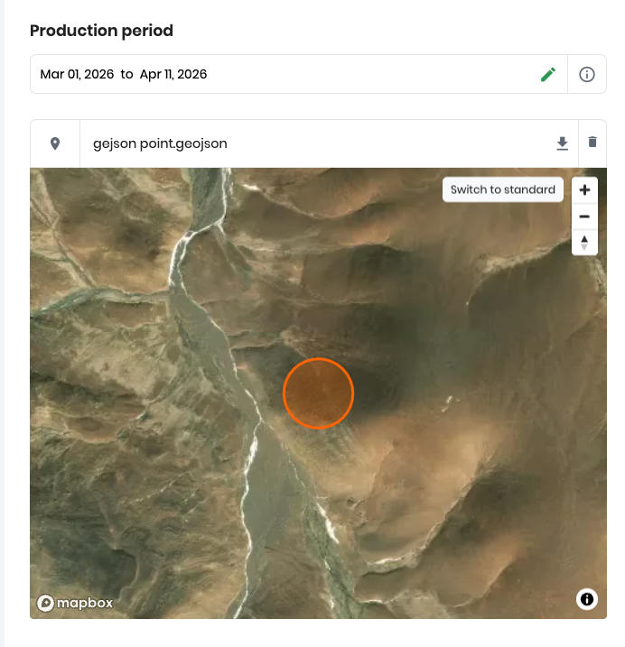
For further intro to geojson files, including instructions how to generate them, please have a look at our recent blog post on geojson files for EUDR.
Did you like this update?


Leave your name and email so that we can reply to you (both fields are optional):
